Photos
|
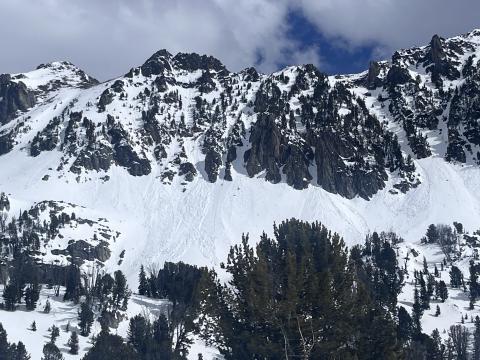
Northern Madison, 2024-04-06 Observed on 04/05/2024: "Photo of recent loose wet avalanches that likely happened 24-48 hours ago on SW-W aspect at ~9800'" Photo: Z. Peterson Link to Avalanche Details |
|
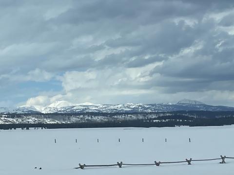
Island Park, 2024-04-03 From email:" photo of mostly cloudy skies. 53 deg F while driving through IP at around 4pm" Photo: M. Staples |
|
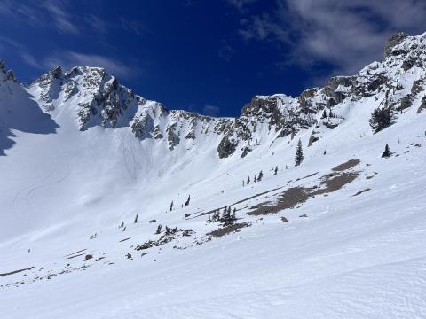
Bridger Range, 2024-04-03 While ski touring in Frazier Basin we saw at least 12 recent loose wet avalanches on east and south aspects. Most of them started near exposed rocks and entrained the upper 6" of wet snow. Photo: GNFAC Link to Avalanche Details |
|
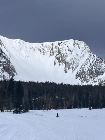
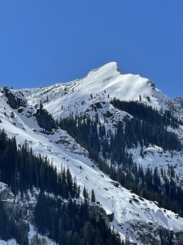
Bridger Range, 2024-04-03 Loose wet avalanches on the east face of the October Bowl from 04/02/2024. Photo: GNFAC Link to Avalanche Details |
|
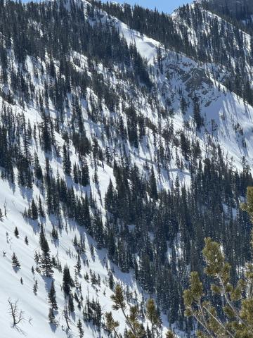
Cooke City, 2024-04-03 A snowboarder saw this natural avalanche on the Fin from Cooke City. He estimated it happened between 10:30-1:30 and broke 2' deep. Photo: N. Mattes Link to Avalanche Details |
|
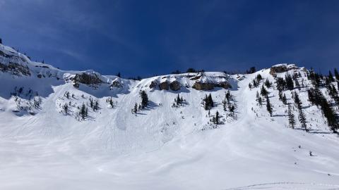
Bridger Range, 2024-04-02 A large slab avalanche behind the Nose. Photo: GNFAC Link to Avalanche Details |
|
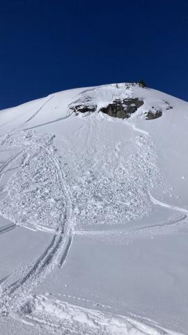
Lionhead Range, 2024-04-02 We rode from the Buttermilk trailhead up Denny Creek to Lionhead Ridge, along Lionhead Ridge through Watkins Creek and to the motorized boundary at the head of Targhee Creek. There was a ~1" crust at the surface when we left the trailhead, with dry snow beneath. We saw our first wet loose avalanche of the day running around 11 am. By 12:30 there were dozens and many rollerballs. None of them ran particularly far or picked up too much volume. The snow surface was moist on sunny slopes by late morning, but not more than a few inches down. |
|
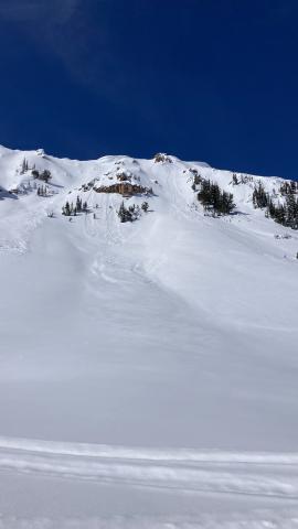
Lionhead Range, 2024-04-02 We rode from the Buttermilk trailhead up Denny Creek to Lionhead Ridge, along Lionhead Ridge through Watkins Creek and to the motorized boundary at the head of Targhee Creek. We saw one small slab avalanche that occurred since this weekend's snow. It appears to have been triggered by a snowmobile yesterday (4/1/24). It broke 10" to 2 ft deep, 50 ft wide, and ran ~50 vertical feet. It broke on a thin layer of facets beneath the new snow. Digging in the crown, dry facets at the ground were along still present and weak (fist hardness). Link to Avalanche Details |
|
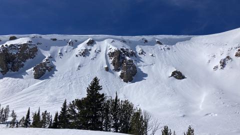
Lionhead Range, 2024-04-02 We rode from the Buttermilk trailhead up Denny Creek to Lionhead Ridge, along Lionhead Ridge through Watkins Creek and to the motorized boundary at the head of Targhee Creek. There was a ~1" crust at the surface when we left the trailhead, with dry snow beneath. We saw our first wet loose avalanche of the day running around 11 am. By 12:30 there were dozens and many rollerballs. None of them ran particularly far or picked up too much volume. The snow surface was moist on sunny slopes by late morning, but not more than a few inches down. |
|
Lionhead Range, 2024-04-02 Large cornices on Lionhead Ridge. 4/2/24 photo. GNFAC |

|
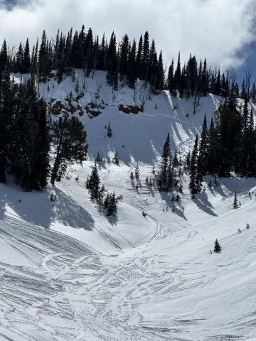
Island Park, 2024-04-01 We saw a small natural avalanche below Reas Peak on a northerly aspect. Photo: GNFAC Link to Avalanche Details |
|
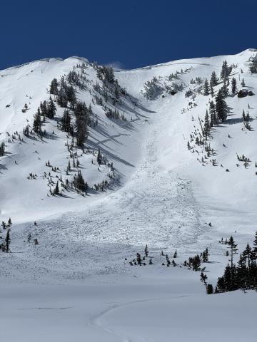
Island Park, 2024-04-01 We saw two avalanches below Reas Peak on North aspects that were likely triggered by snowmobilers. Photo: GNFAC Link to Avalanche Details |
|
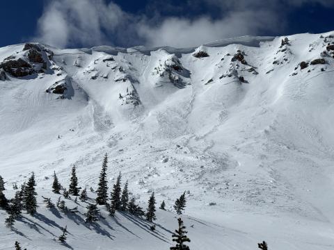
Island Park, 2024-04-01 We saw two recent natural avalanches that broke below the wind-drifted snow in Jefferson Bowl. Photo: GNFAC Link to Avalanche Details |
|
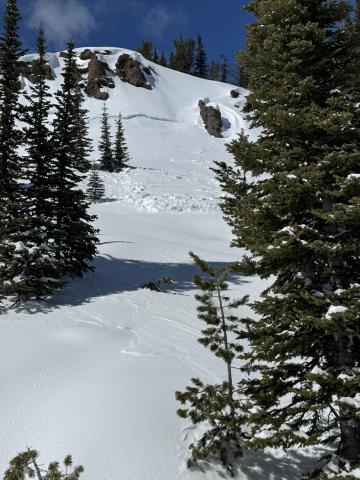
Island Park, 2024-04-01 We saw two recent natural avalanches that broke below the wind-drifted snow in Jefferson Bowl. Photo: GNFAC Link to Avalanche Details |
|
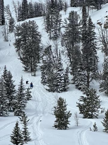
Island Park, 2024-04-01 We saw a natural avalanche that broke near Yale Creek on a southern aspect that broke below the recent snow. Photo: GNFAC Link to Avalanche Details |
|
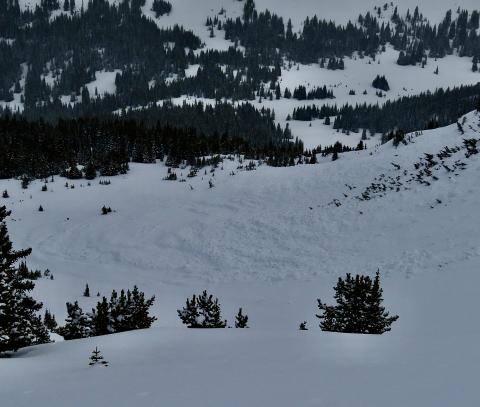
Lionhead Range, 2024-03-30 A group of snowmobilers watched a pow surfer trigger an avalanche. The individual was buried to his chest and thankfully uninjured. Link to Avalanche Details |
|
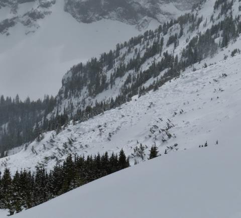
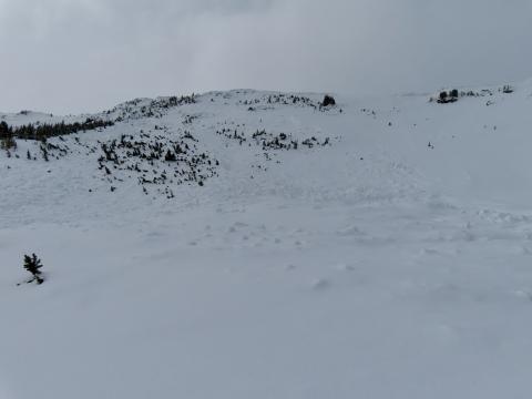
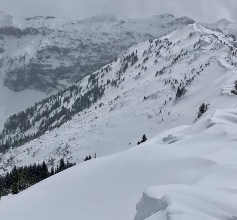
Northern Gallatin, 2024-03-30 We toured up to Flanders Mtn and saw a big, deep 2-6' deep avalanche that broke 300-500' wide in weak snow at the bottom of the snowpack. It broke across two separate start zones and included a lower angle ridge (still around 30 degrees) in between that slid. E-NE aspect at 9,800'. HS-N-R3-D3-O. Photo: GNFAC Link to Avalanche Details |
