Snow Observations List
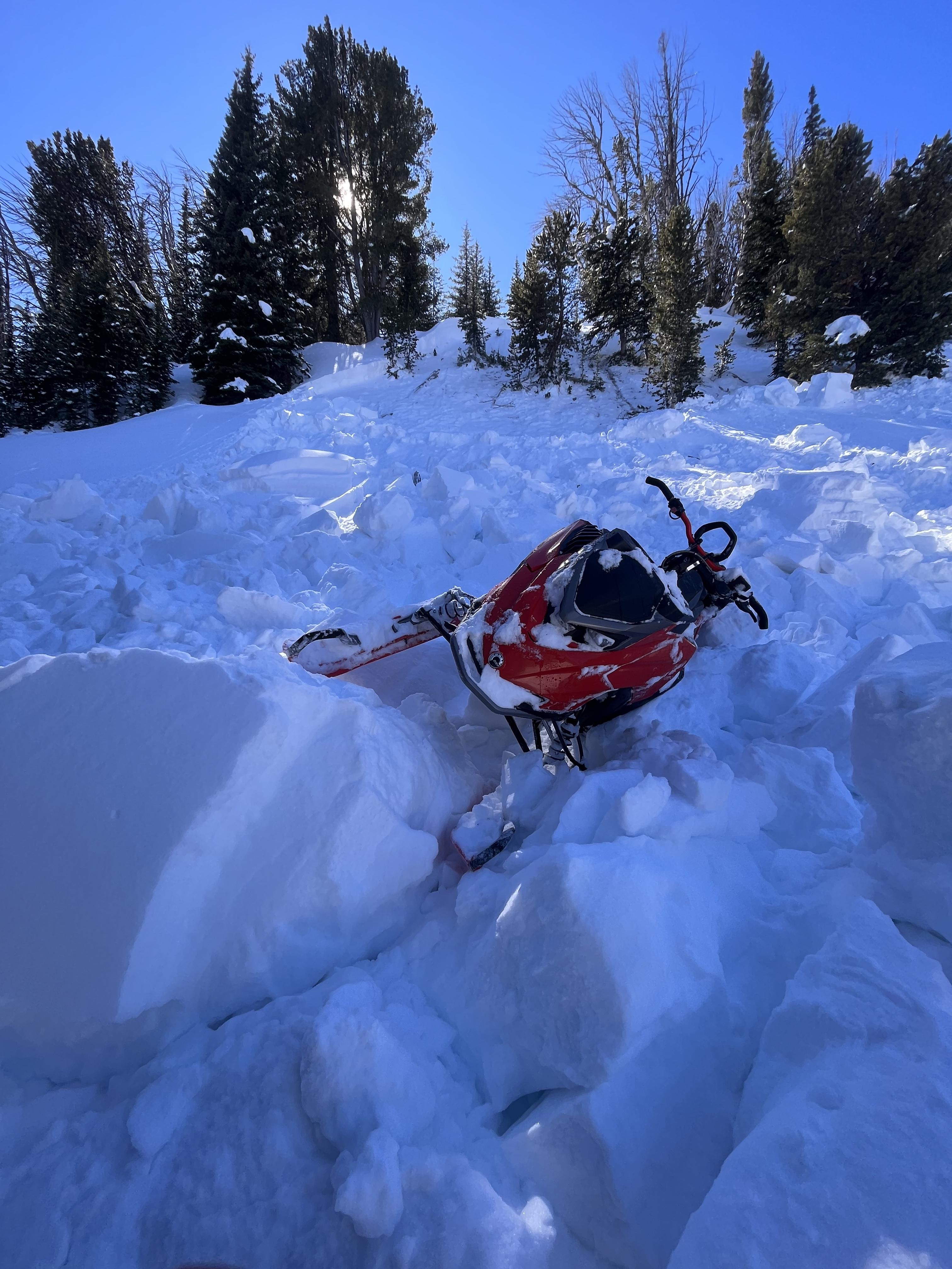
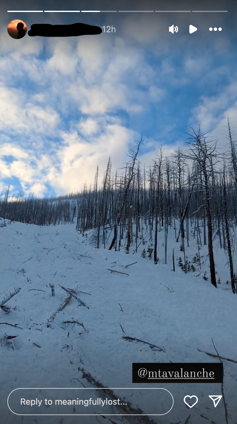
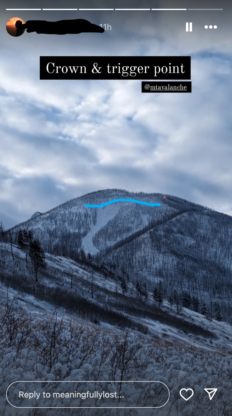
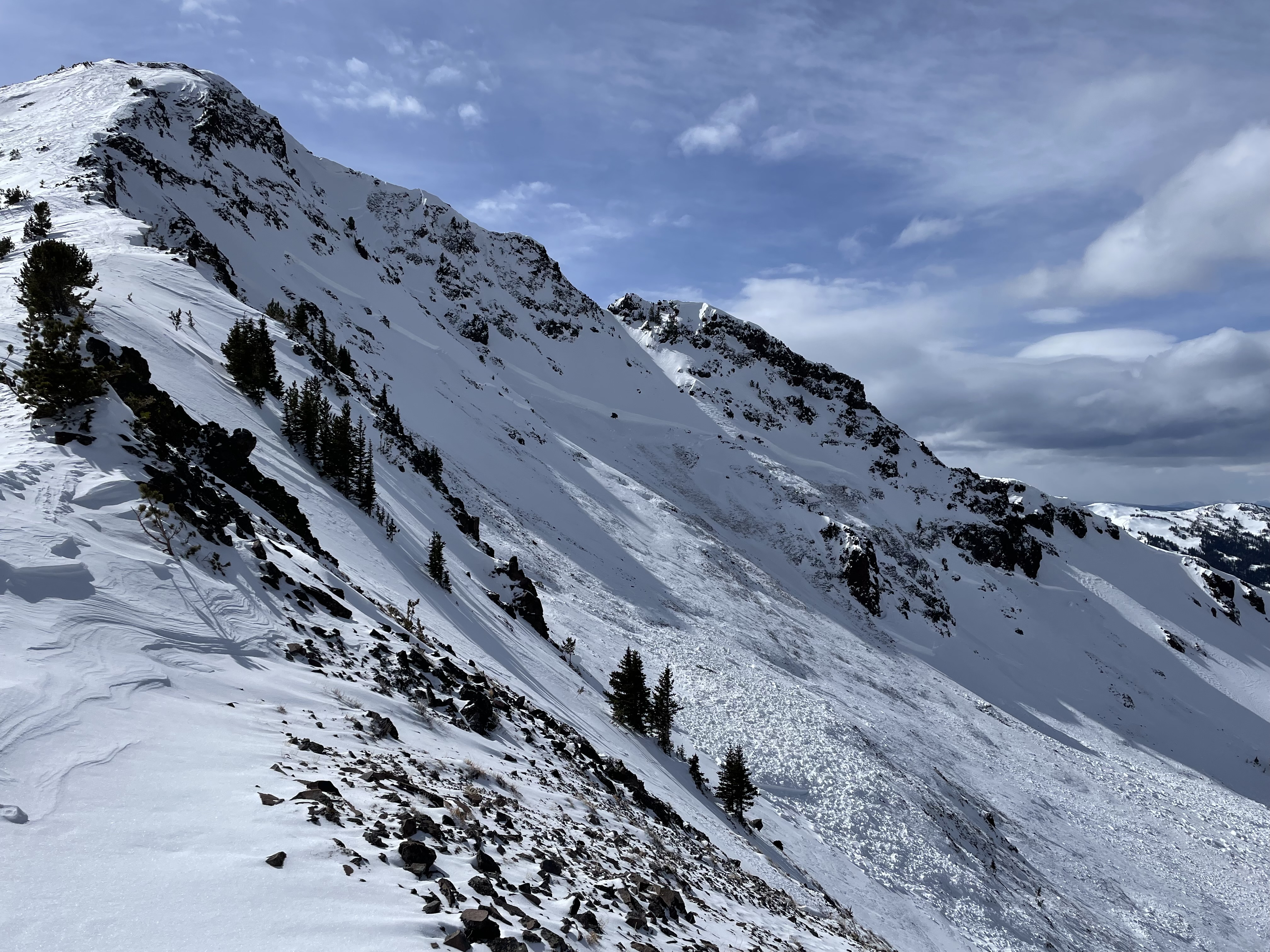
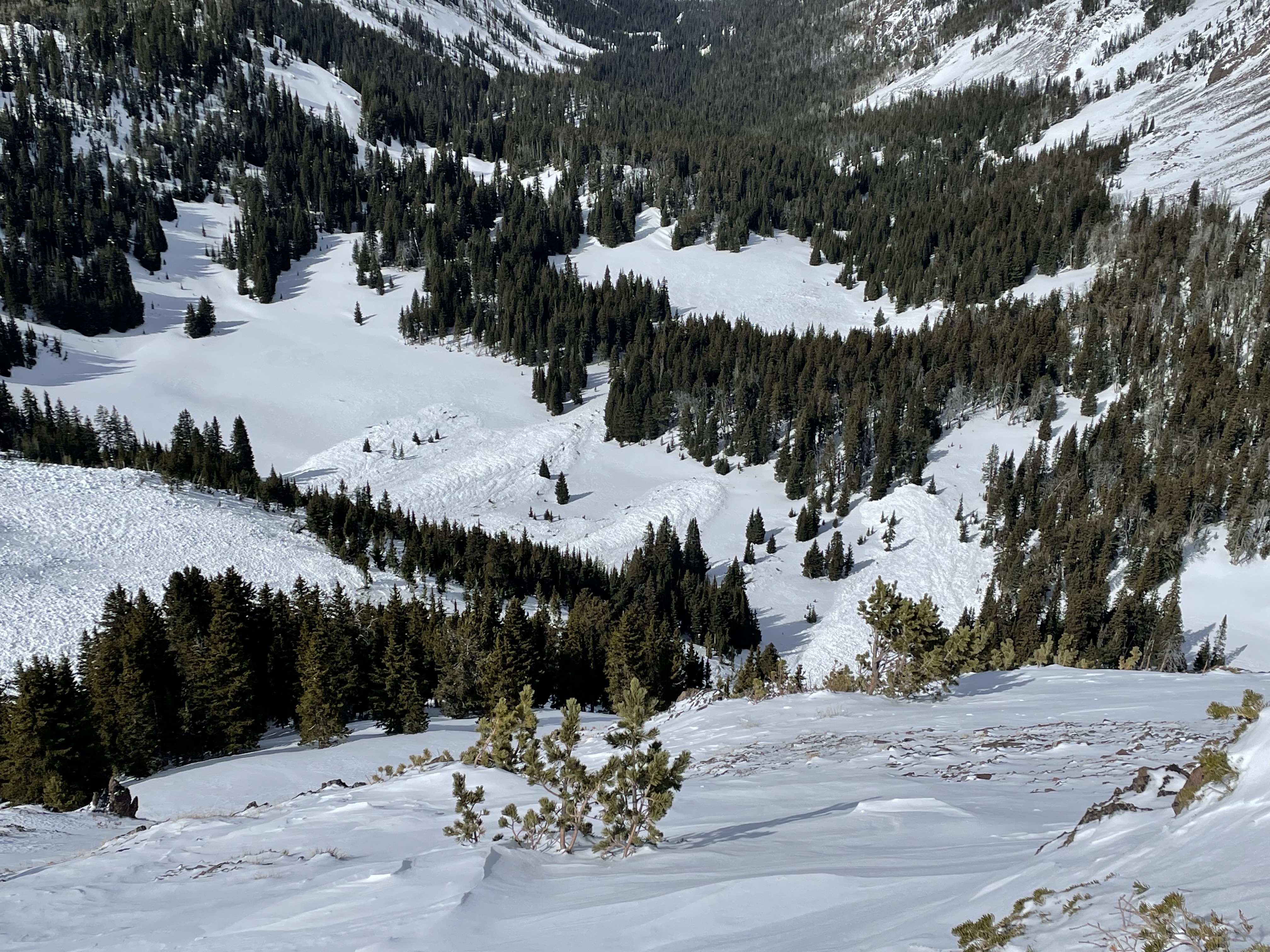
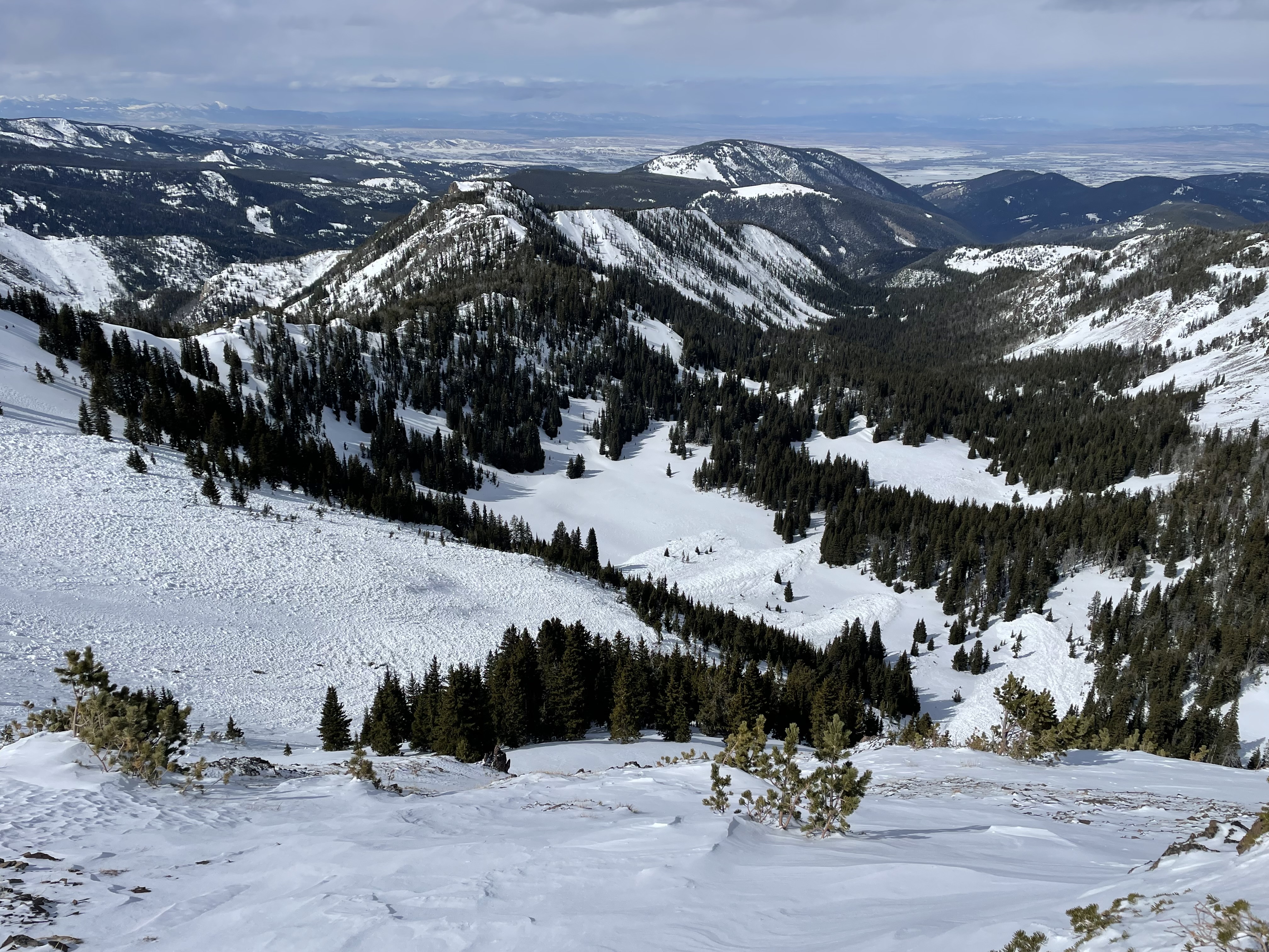
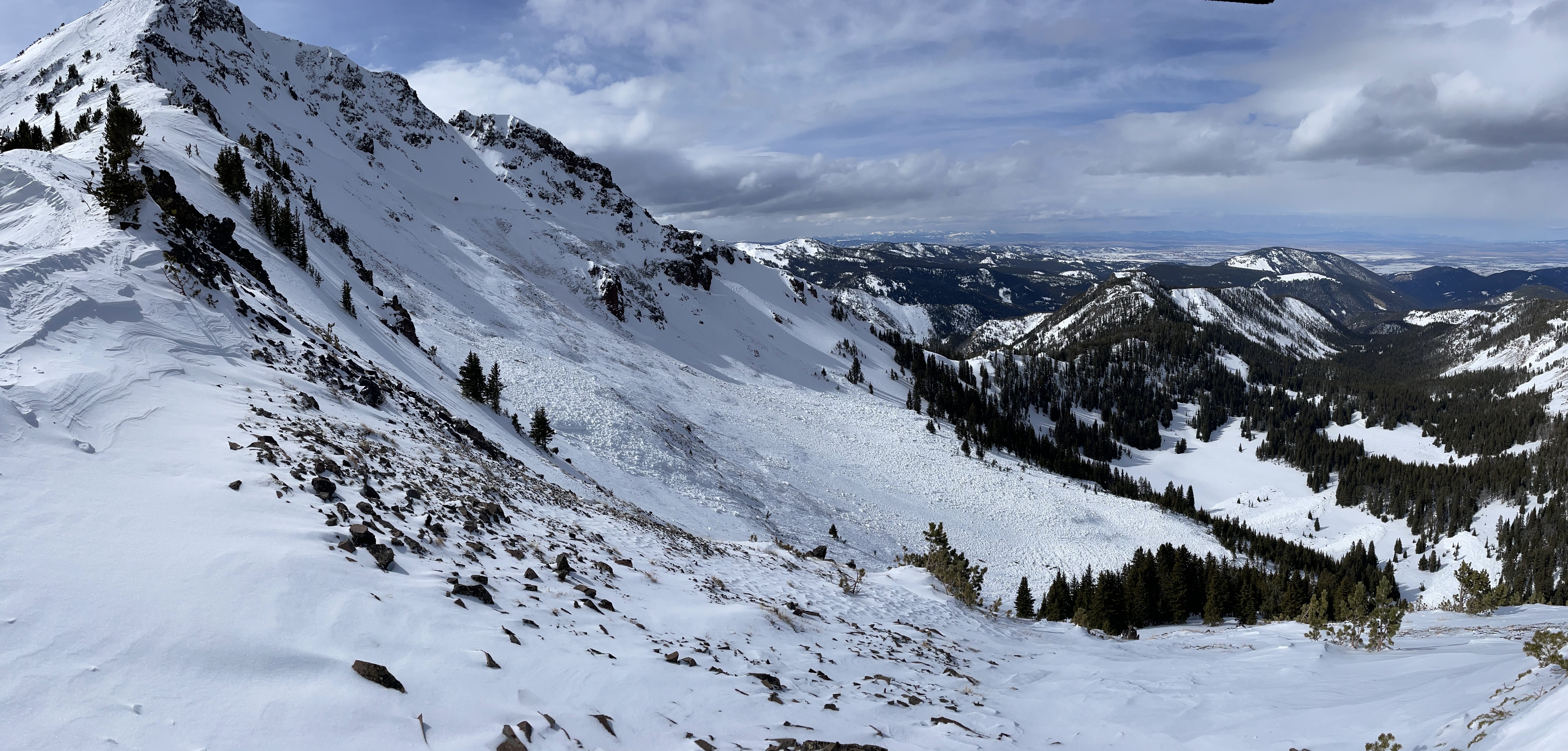
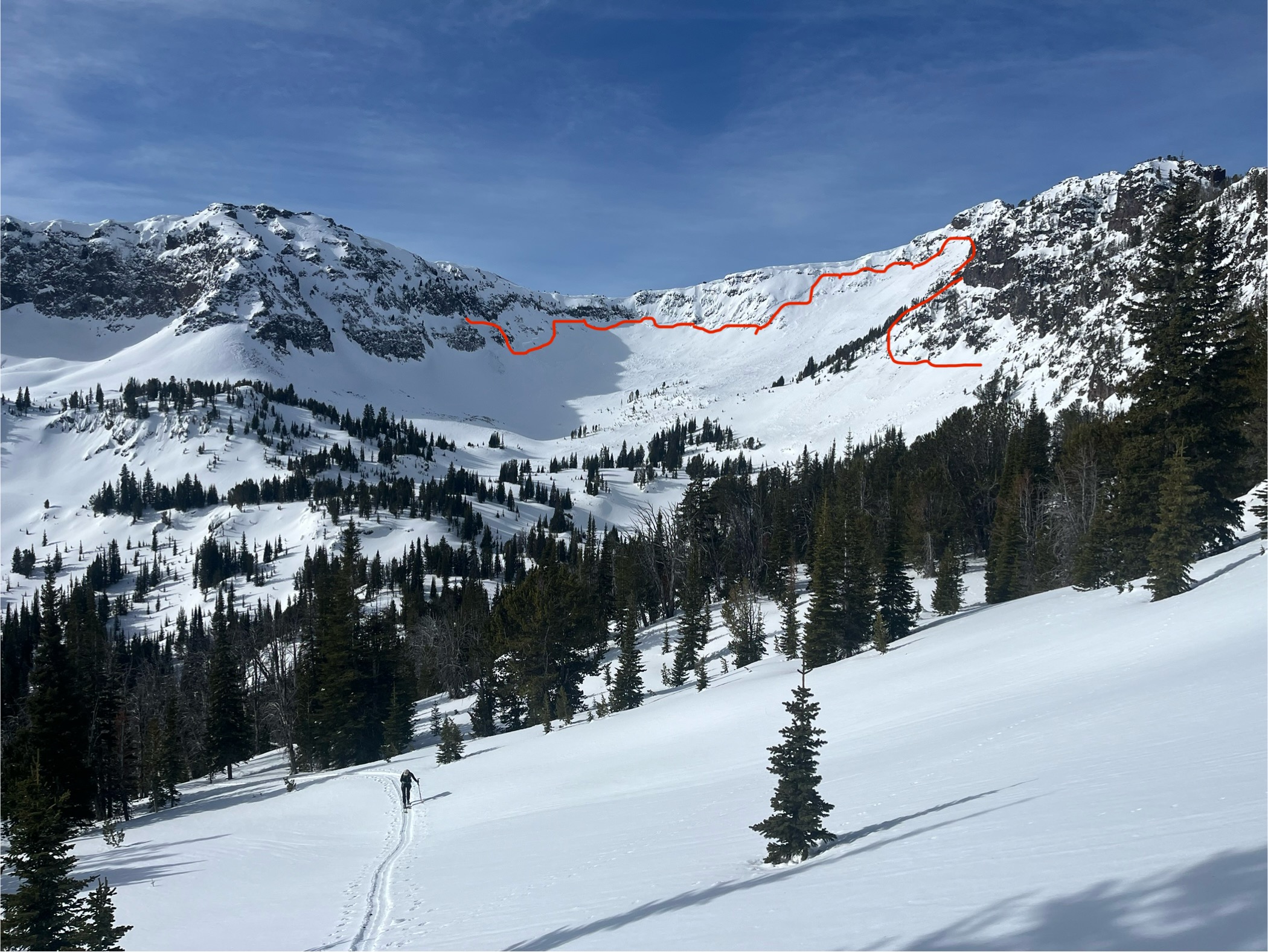
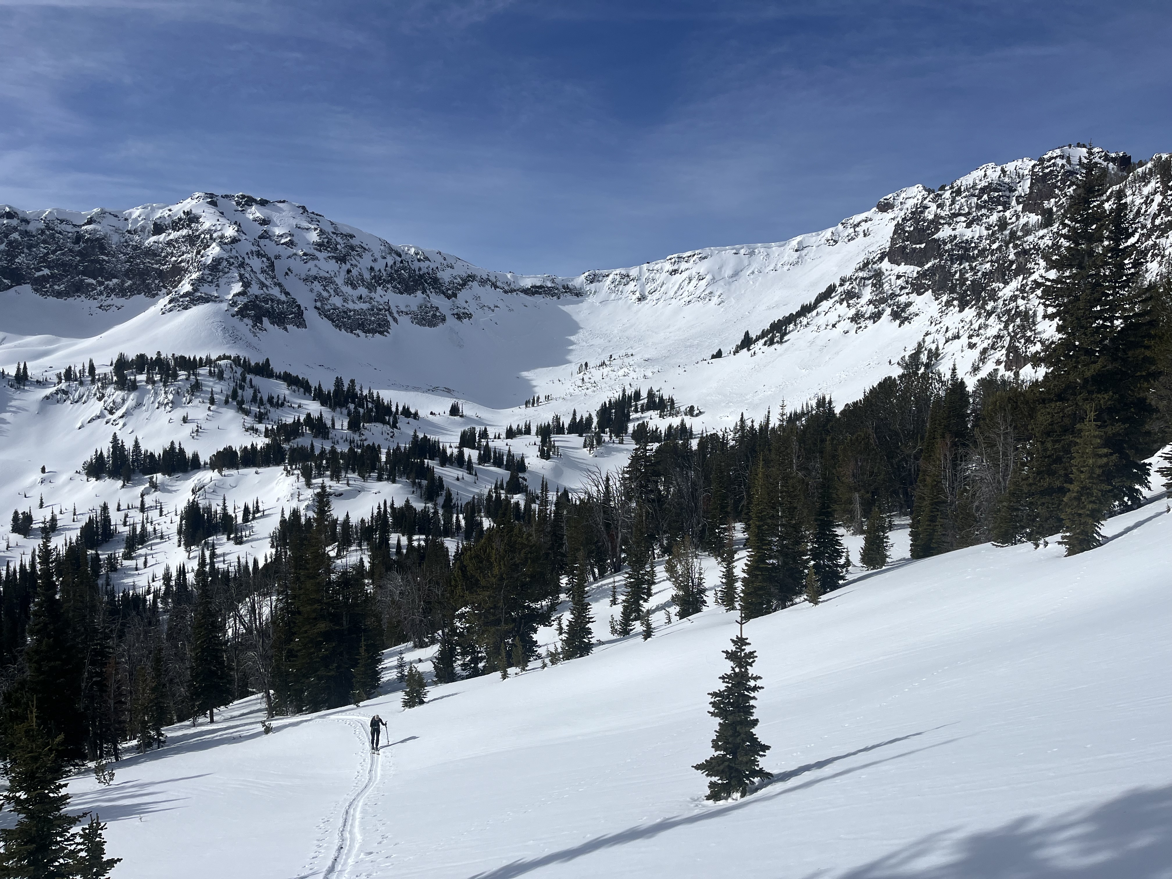
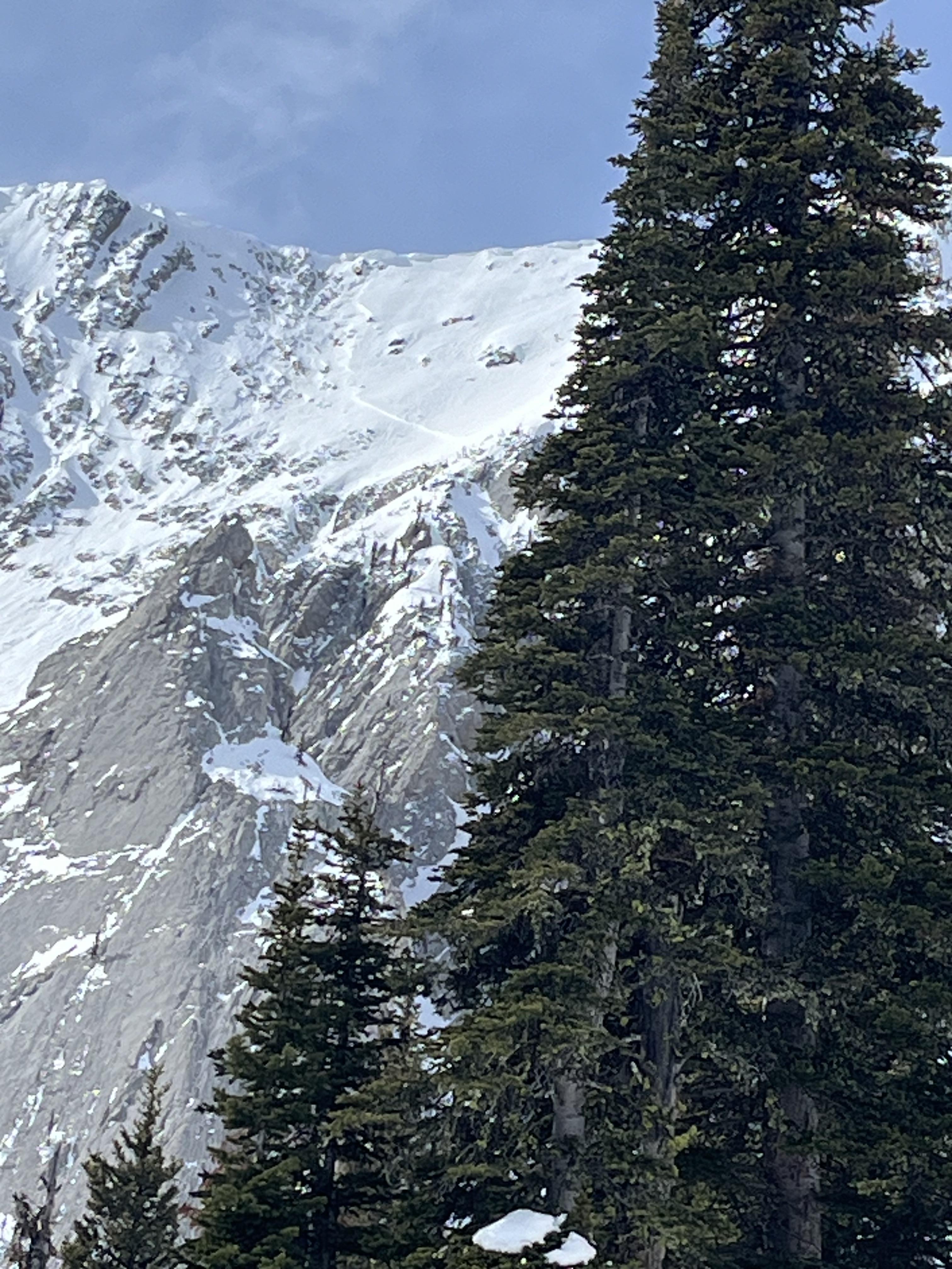
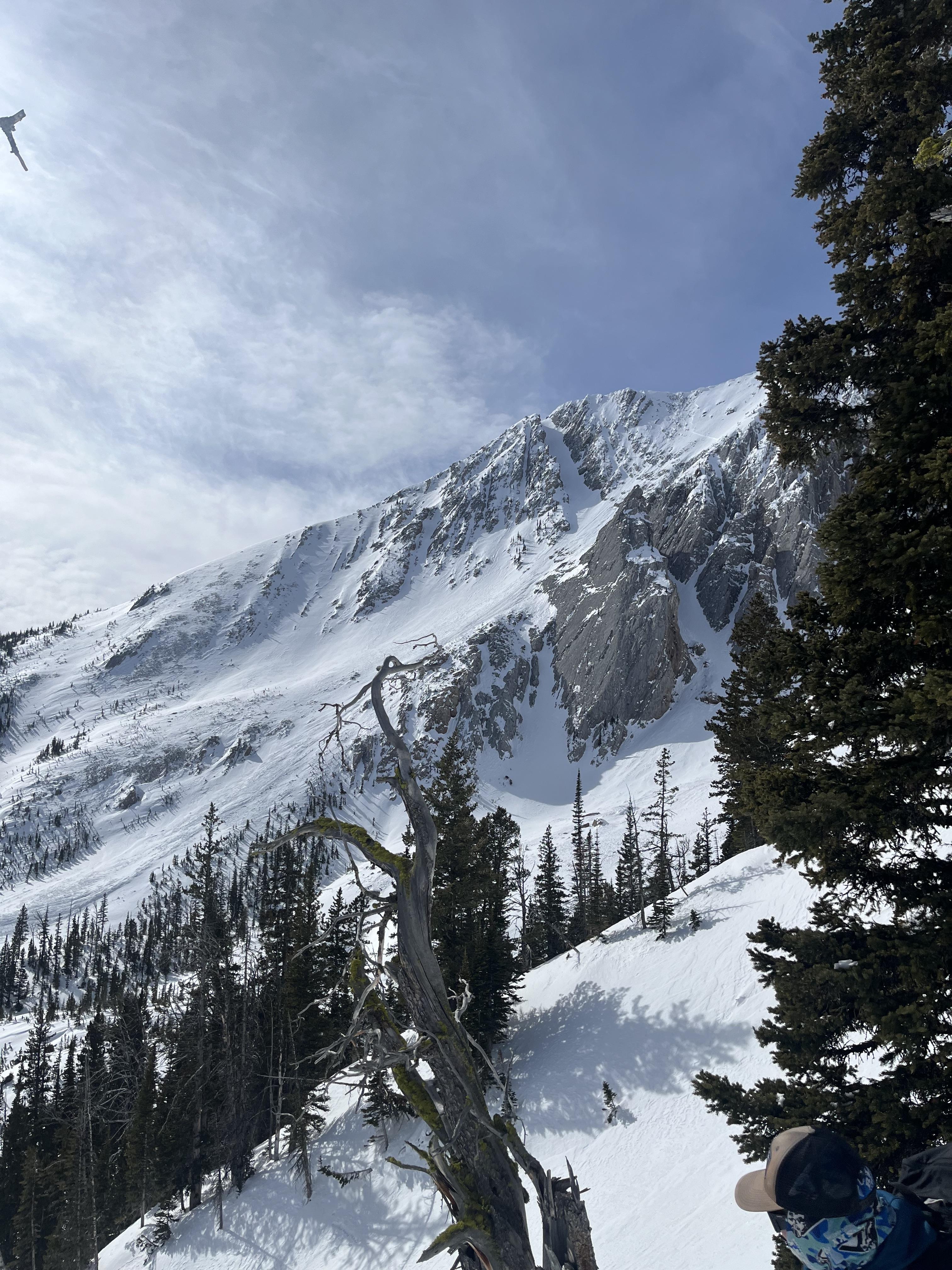
Avalanche broke about 400ft wide and slid for 250 ft. 4-2ft deep at the crown
Full Snow Observation ReportSnow was dry on North aspects when we got there around 10, and we started seeing a couple of wet loose on solar aspects where the terrain was steeper and rocky at 1130.
Snowpack started getting damp on the surface where we were skiing in the love chutes above Ainger Lake around 1300, on the descent back to the shaft house trailhead we were getting small roller balls and the snowpack was saturated below 6600 by 1430.
Full Snow Observation Report
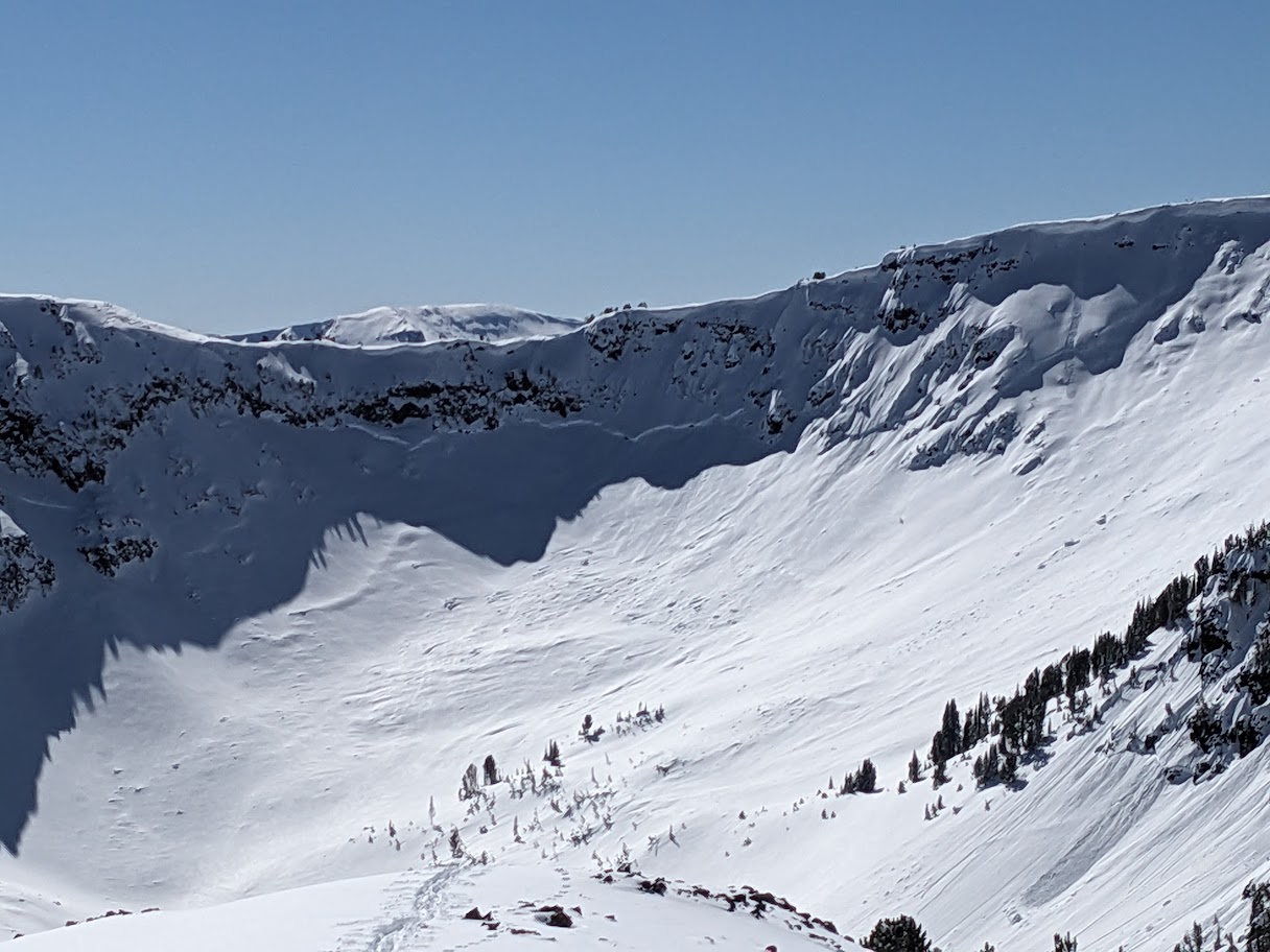
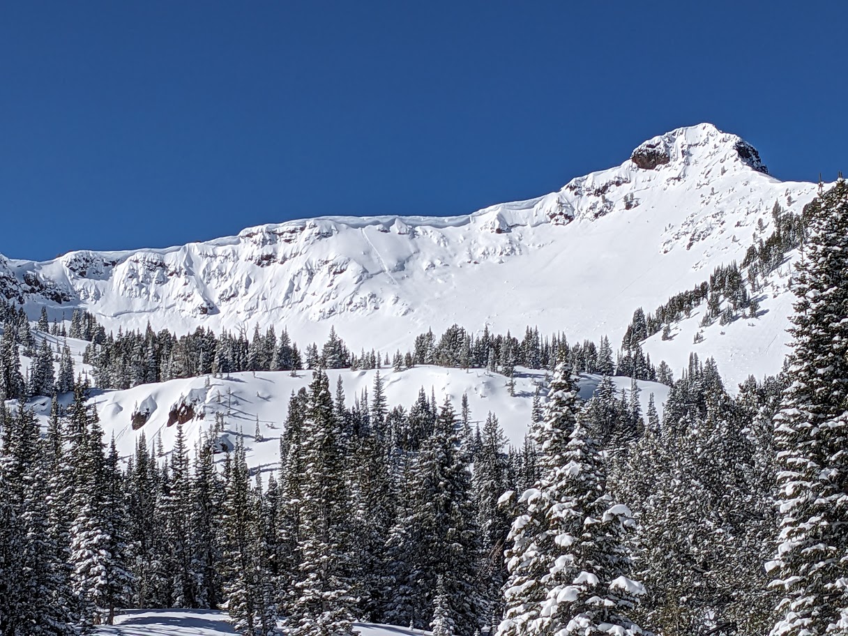
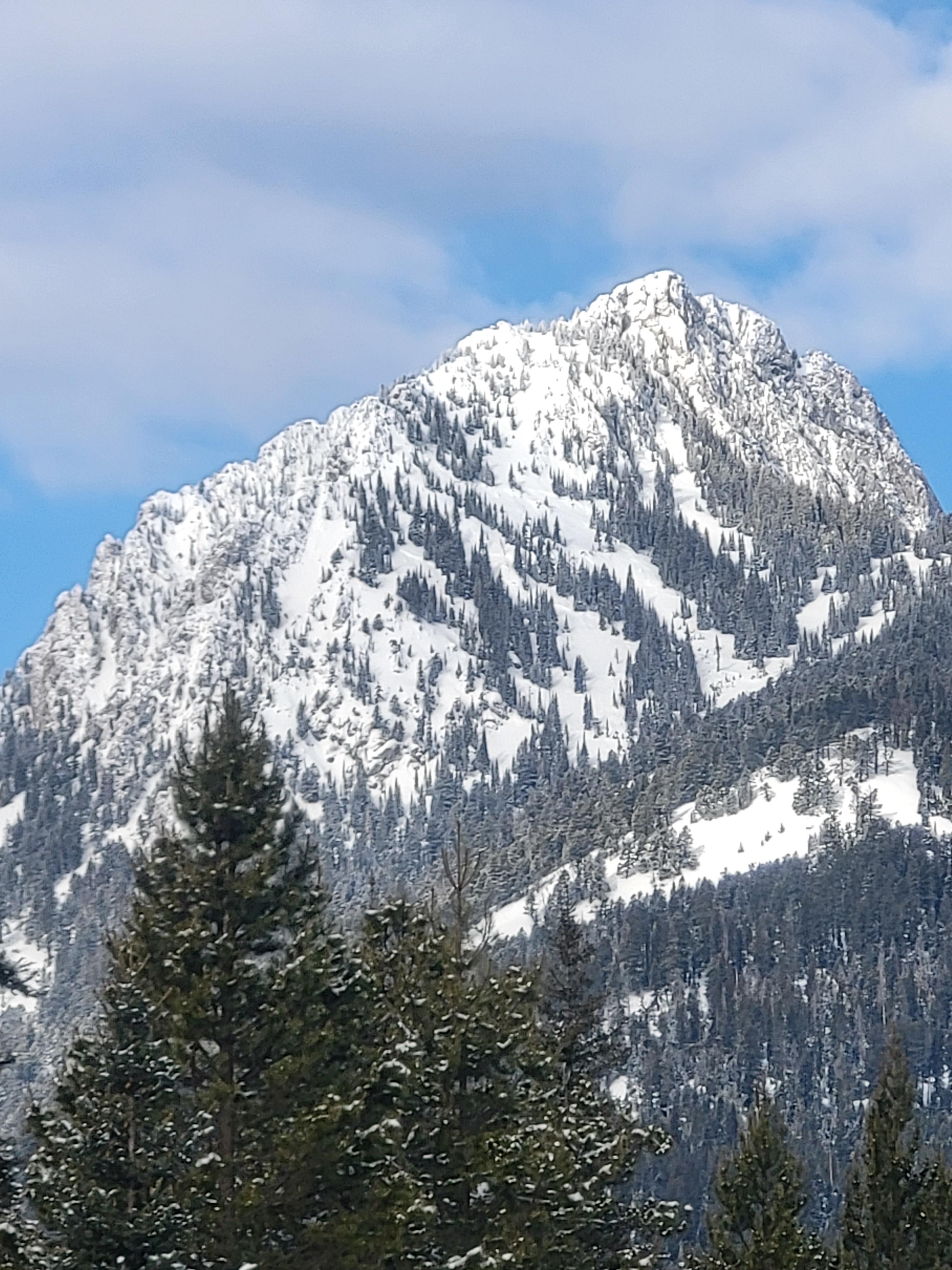
saw this massive slide that spanned between the "Fat Maid" peak and all the way across Arden from the summit of Palace Butte yesterday.
Full Snow Observation Report
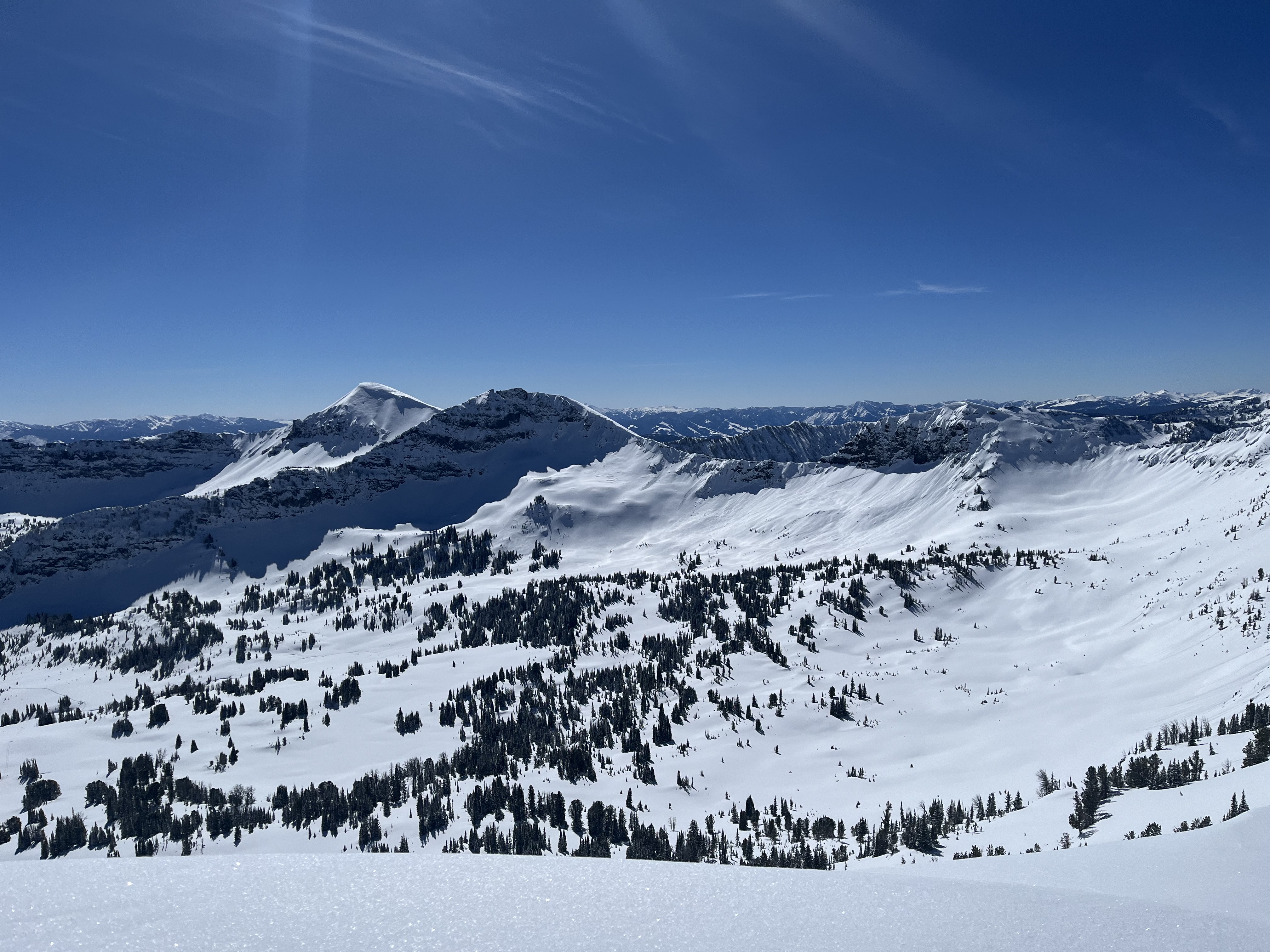
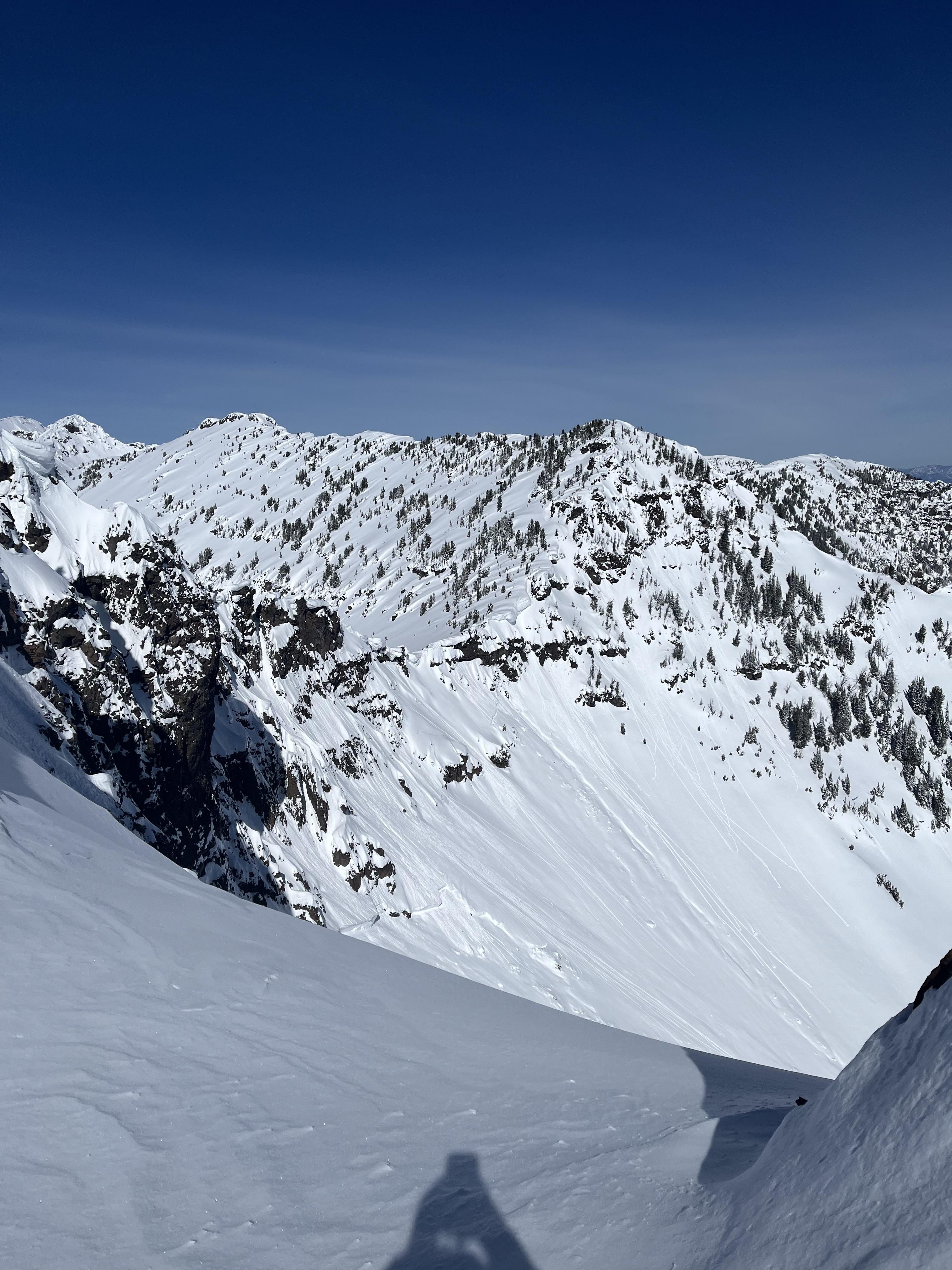
Toured on the east ridge of Divide Peak this morning. From the summit, we saw at least three, if not more, large slab avalanche crowns and debris in Divide Cirque and surrounding basins. There were also a handful of visible wet loose slides and point-releases in the area. Winds were blowing out of the north but only really felt at ridge tops. Otherwise, it was incredibly warm. A bit after noon, the upper 6-8 inches of snow surface on the east shoulder had been impacted by the sun and wanted to slide on an old melt freeze crust below the surface.
It was so beautiful up there today but the sun was powerful! The trail up and the basin were heavily impacted with the high temperatures and low wind.
Full Snow Observation ReportToured up north of the ski area today. East and North facing slopes stayed cold, we experienced very light downslope winds below ridgeline, we observed little no windslab formation. Dug on a north aspect about 150' below the ridgeline. HS 150cm, ECTX, structure looked better than I thought it would, basal depth hoar was 1F-, but we got PST 65/145 and PST 40/145 to end up 20cm from the ground.
Thanks!
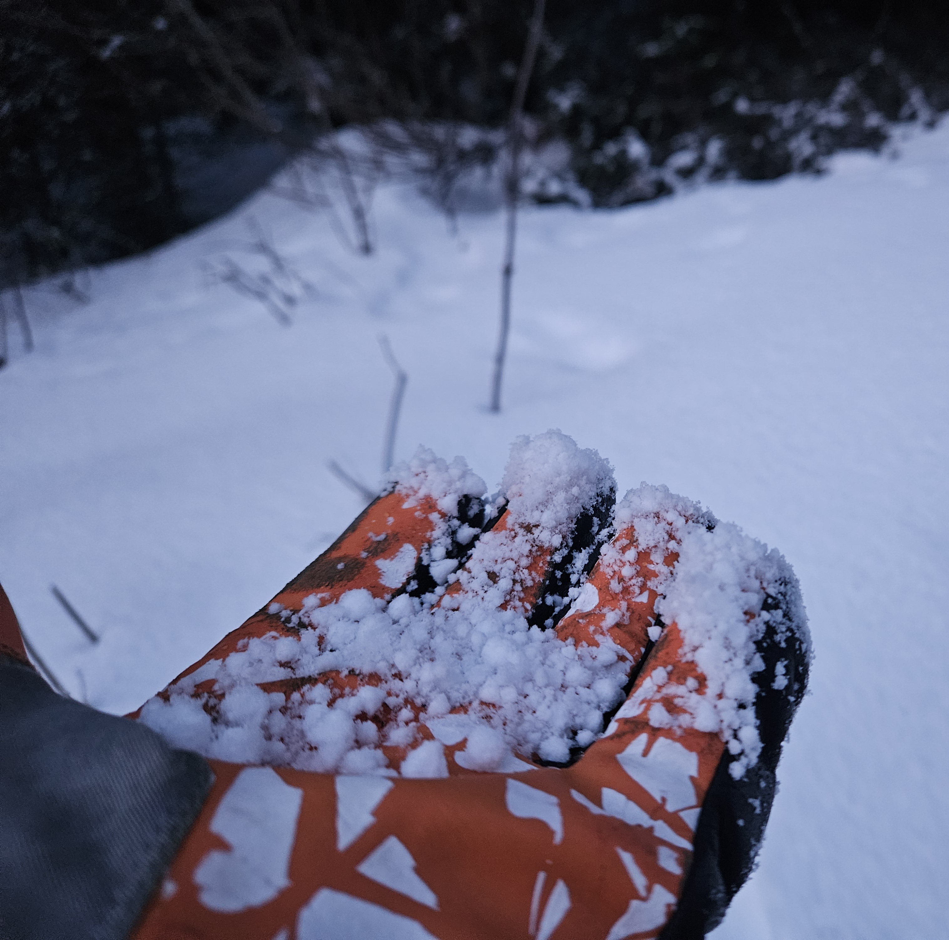
Full Snow Observation ReportLocalized observation for the Grotto Falls trailhead and G1 climbing area. An inch of graupel on the surface that probably fell in the late afternoon? I don't know how widespread it is, but very prominent in this area.
Full Snow Observation ReportToured up to the ridge between Beehive and Middle Basins with an AIARE L2. On the lower ridge we found:
- Pit 1
- W aspect, 9045ft
- Height of Snow 120cm
- ECTP 26 in facets around 80 cm down
- PST 38/100 end
- Pit 2 and 3
- E aspect, 9023ft
- Height of Snow 150cm
- ECTP X x2
- PST 40/100 end
- PST 89/100 end
Skied up around Frazier Basin today, found limited instability in the new snow beyond sluffing. Wind loading was minimal with no large drifts, and no cracking in the new snow. Underneath the new snow was a very supportive crust on all aspects. Did not see any new avalanche activity, but we did see numerous large old slides. Did see a good amount warming on solar aspects until the clouds moved in around noon or 11.
On the morning on 3/14/24, a skier remotely triggered the Lawn Mower and an adjacent path on "Town Hill" in the Absaroka Range (outside of the GNFAC advisory area) while ascending on the other side of the ridgeline from the paths. The slide ran at least 1000 ft vertical.
From IG: "1/4 to 1/2 mile wide crown. Lawnmower and adjacent gully. 2-4 ft deep. Remote trigger from ~200 ft away. Crown is 8800 ft N/NW"
Full Snow Observation ReportOn our hike in we saw a crown above the East meadows on Ross. After getting up onto the shoulder we saw that the crown had a couple of inches of fresh snow on top of the debris so we assumed that the slide had happened 2 days previously with a possible human trigger. Could not see the full size of the crown due to not wanting to enter the terrain but my guess would be 2ft deep and a few hundred feet wide breaking above The Peel to the North of the Banana.
Full Snow Observation ReportJust finished a weeklong ski from west Yellowstone to bear canyon, and thought I’d chime in that I didn’t observe anything that hasn’t been reported on already. I saw lots of deep slabs breaking near the ground, primarily on the north half of the compass. But sometimes not! There did not seem to be much activity in the newer snow, which was encouraging. In 110 miles of skiing I got a grand total of two collapses, which is close to an inverse ratio of what I experienced Nordic skiing near west Yellowstone earlier this year. It was interesting to see that despite the lack of snow, some avalanches were running almost full track. It seems like after a week of being on the snow I would see some sort of pattern, but I feel like I ended the trip with the same amount of confidence I entered it with, and didn’t feel comfortable exposing myself to hardly anything.
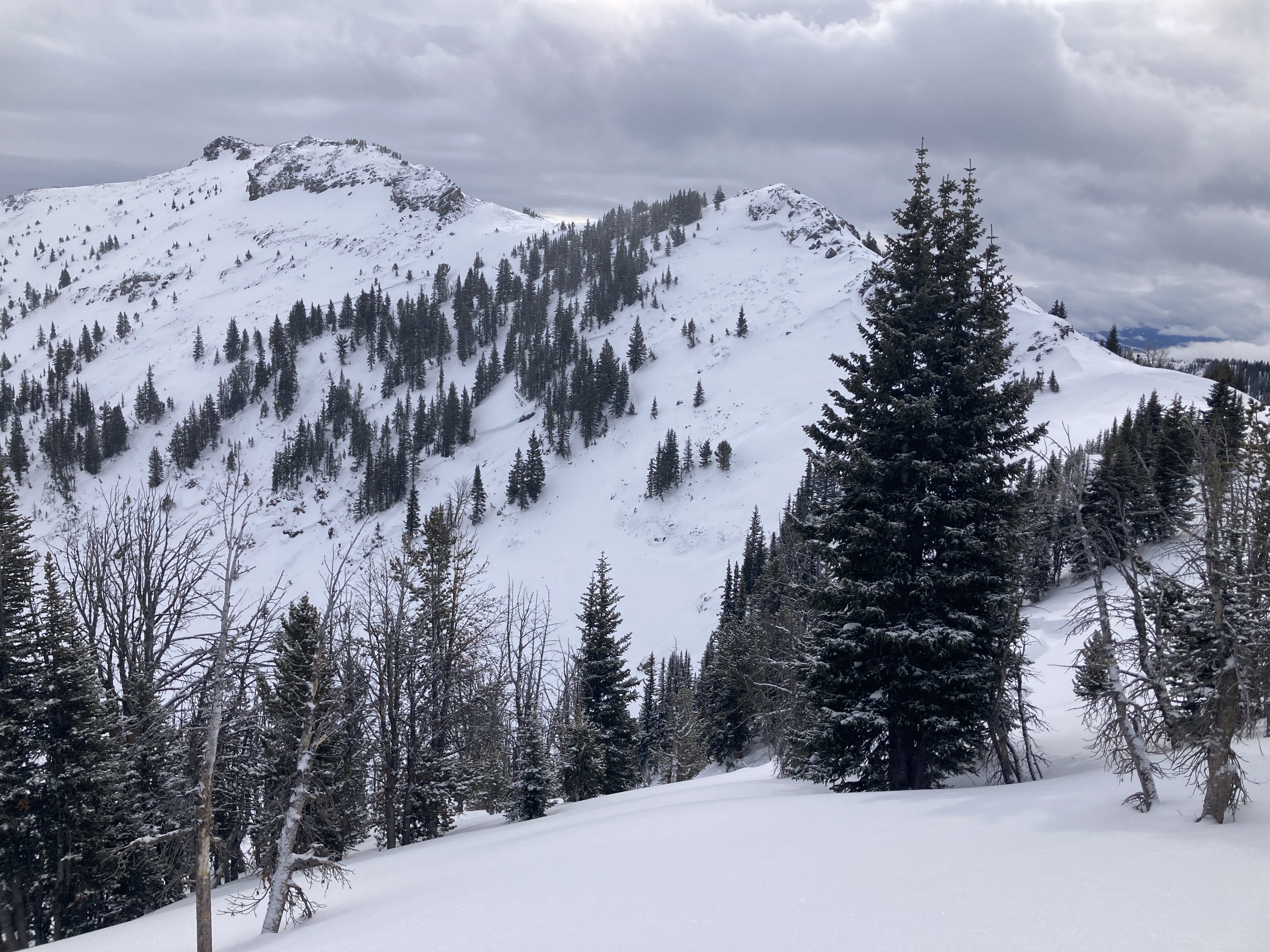
I attached a couple photos of a slide I saw toward the head end of Swam Creek. The crown was 2-5’ deep and ~2000’ wide, and it stopped within 50’ of old growth timber.
Full Snow Observation ReportRode Battle Ridge to Fairy Lake Road via lower connector, then back to Battle Ridge area via upper connector. From there we took a thorough lap around the Ross Peak zone and north to the east-west boundary south of Throne, stopping to peer into the basin closed to snowmobiles south of the Throne. We observed 2 inches in the Battle ridge parking lot when we arrived and 4-5" up high. Wind was dead calm, Temperatures were hovering at freezing to above freezing. Between ross peak and throne we observed what appeared to be a wet snow avalanche from last weeks warm temperatures at 45.875941, -110.952699. We also saw no other area users which was nice. It was grauppelling while we returned to the truck.
Full Snow Observation ReportWent out to check on surface conditions and dig on different aspects around Bradley's meadow.
Found variable breakable crust in many places but dry snow on northerly and non breakable crust on some southerly. Did not see anymore recent avalanches, many old D1 sized wet loose slides near rocks/cliffs.
Dug on a N slope at 7600' found 125-145 cm HS with the bottom 40cm being a mix of fist hardness facets and depth hoar, ECTP20 on the top of that layer.
Dug on a Solar aspect at 7800' found 90cmHS and multiple melt freeze crusts, with perc columns and water pooling down to below last week's snow ( around 45cm down). The structure is similar to the north aspect with the bottom of the snowpack holding 20cm + faceted snow, though it was definitely damp today and rounding!
Full Snow Observation ReportWe rode through White Elephant and Yale Creek to the head of Hellroaring Creek. There was 8-10” of dense new snow. Poor visibility limited The avalanche viewing.
As we reached the upper reaches of Yale, the snowpack was 250-280cm deep. When we dropped our probes to the base of the snowpack, we found weak snow toward the bottom. CTs and ECTNs in the single digits broke below the new snow on a layer of graupel. No other upper-level instabilities were noted. The depth of the weak layers at the base of the snowpack makes them difficult to trigger but any subsequent avalanche would be catastrophic.
Full Snow Observation ReportWe will hold the danger at CONSIDERABLE through the storm. We will hold it CONSIDERABLE an extra day after the storm and then drop to MODERATE.
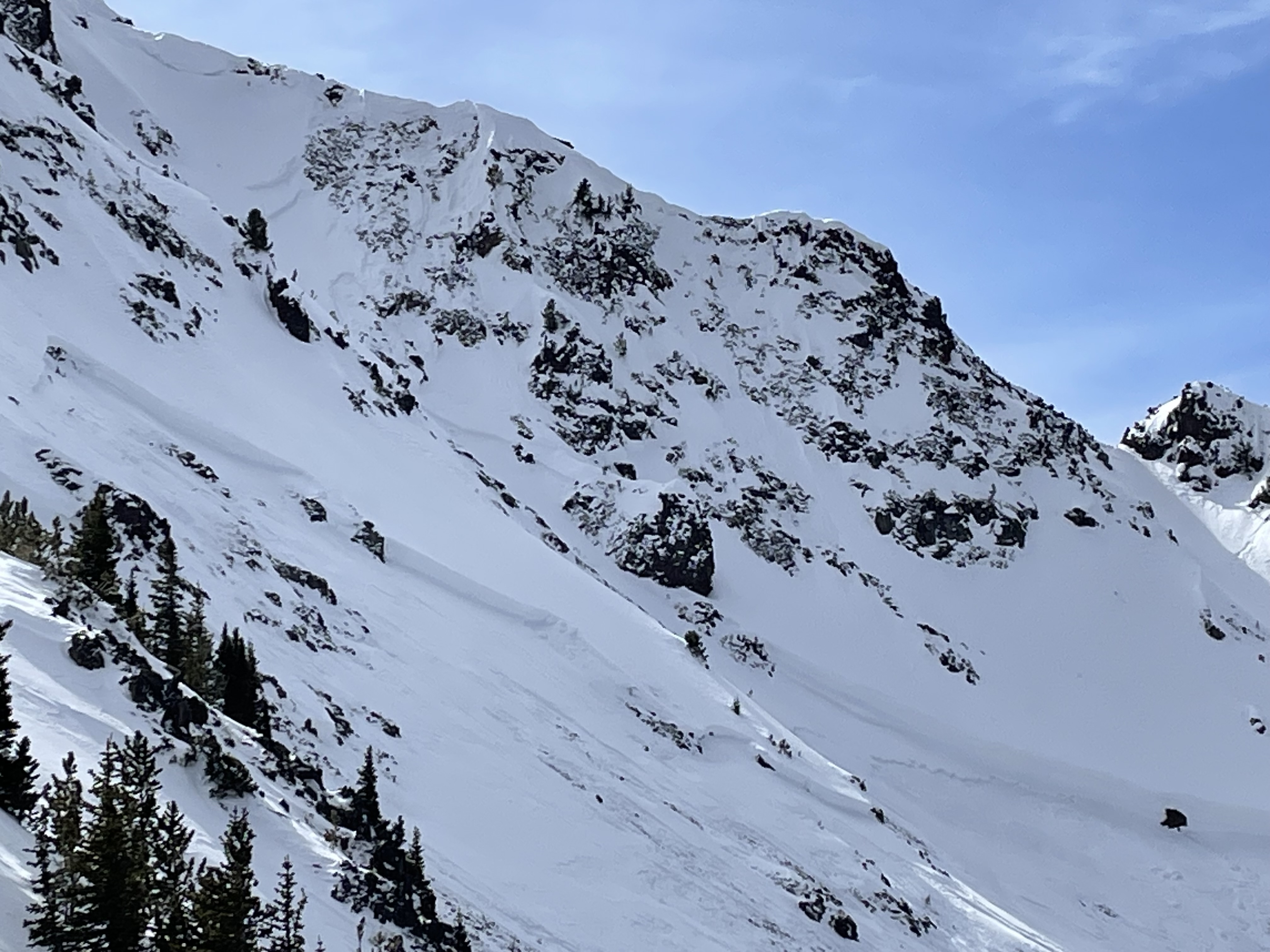
Large avalanche North face Mt Blackmore. Appeared to be potentially triggered by cornice fall from above. Crown propagated across majority of the bowl and was quite large in places.
Full Snow Observation ReportLarge avalanche in Maid of the mist basin
Full Snow Observation ReportCornice fall triggered a big one. Looks to be real fresh. last night or this morning Broke across the whole bowl and up to 8 feet deep maybe more right in the middle Broken trees in the debris, And ran out of sight.
Full Snow Observation ReportLarge(D2.5) natural avalanche on Naya Nuki Sacagawea headwall.
looks to be a couple days old. Broke near the ridge and propagated far. Ran to near the end of the potential slide path
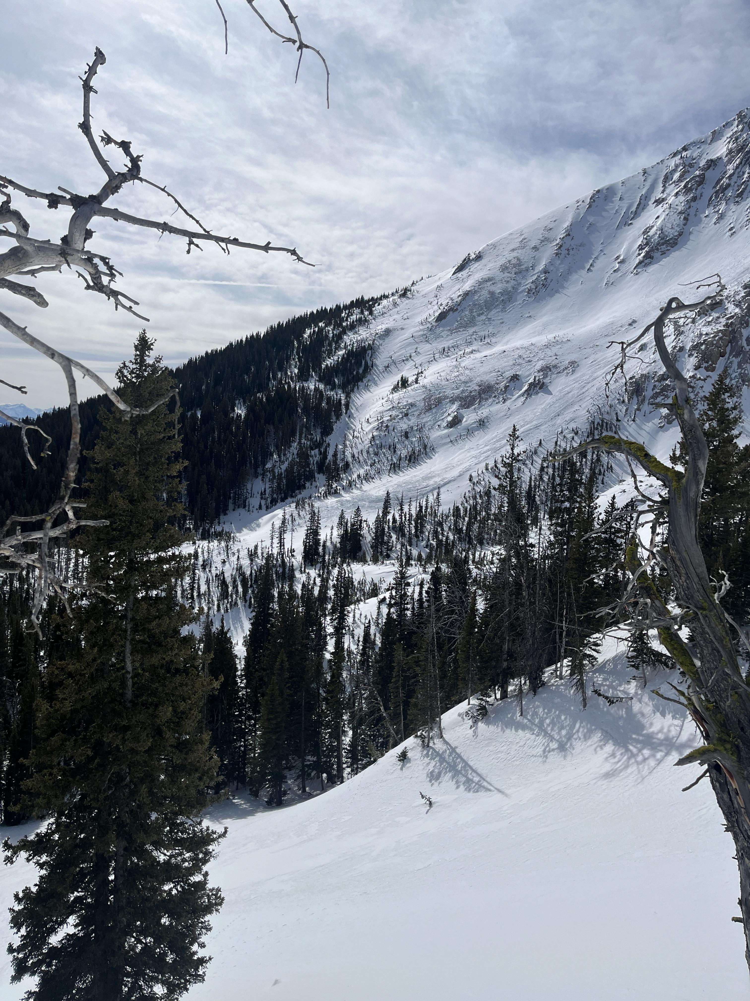
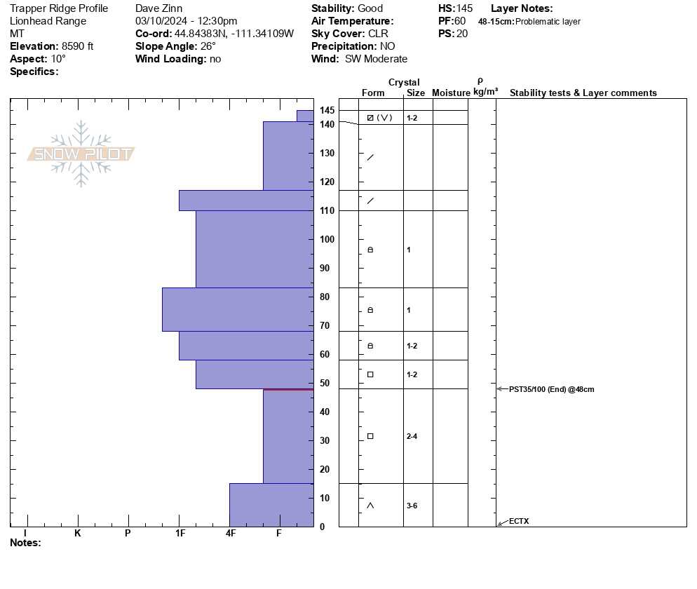
We ascended the north ramp of Trapper Ridge to the summit ridgeline. There were no signs of instability, and we did not see any recent avalanche activity in the nearby mountains of the Southern Madison Range or the Lionhead Ridge area. We dug a pit on a north-facing slope at 8600 feet elevation (ECTX and PST35/100end). The facets deep in the snowpack show no hardening trend, and they maintain their ability to propagate failure easily. Currently, it is simply a matter of the persistent weak layer having adjusted to the load they are supporting and being buried more deeply; thus, initiation of failure is more difficult. Large avalanches remain possible. The sun and warm temperatures affected the snow surface in the eastern and southern aspects (and I assume the western). A cool breeze kept any wet snow hazard from developing before we left at 2 PM. I suspect it did not develop today.
Of note, surface snow was weakening on northern aspects with a 3-4 cm layer of near surface facets and surface hoar. We will have to see how this behaves when it gets buried by new snow starting tomorrow.
Full Snow Observation Report
MODERATE seems appropriate for now. We did cross through some avalanche terrain but the area we skied was generally low-angle.

