This is Alex Marienthal with the avalanche forecast for Saturday, March 15th, at 7:00 a.m. sponsored by Spark R&D and Yellowstone Club Community Foundation. This forecast does not apply to operating ski areas.
This morning there are snow showers in the mountains, and since yesterday there has been:
- 4” of new snow near Island Park and Big Sky,
- 1-2” near West Yellowstone and Cooke City
- and a trace to 1” near Bozeman.
Temperatures are single digits to teens F. Wind has been from the west and southwest, and generally calm to light at 5-15 mph with a few hours last night of speeds to 20 mph with gusts to 35 mph.
Today, temperatures will reach 20s to 30 F, and wind will be out of the west and southwest increasing to 10-20 mph with gusts to 30 mph. Snow showers are possible tonight, with 1-3” by tomorrow morning, and more snow is expected tomorrow afternoon through Tuesday morning.

All Regions
Avalanches involving the recent snow are possible for a person to trigger. The main concern is wind slab avalanches breaking 6 inches to 2 feet deep where the new snow is drifted into thicker or stiffer slabs. Yesterday the wind was calm, so if the wind increases today there is still plenty of soft snow to be drifted into fresh, reactive wind slabs.
Yesterday, near Cooke City there were a handful of small avalanches (photos), and in the Centennials near Island Park Mark saw a larger avalanche that broke on or under a crust below the new snow (video). These occurred where there was just the slightest bit of wind to stiffen the snow surface. Avoid wind-loaded slopes near ridgelines to minimize the chances of triggering an avalanche. Watch for snow blowing off ridges, and look for cracking around your skis as signs of fresh wind slabs.
Loose snow avalanches, dry or wet, are also possible and can easily run long distances on the crust below the new snow (video). These will be small and somewhat predictable, but could be dangerous if they drag you into rocks, trees or over a cliff. If the sun shines it may quickly soften the snow surface and increase the chance of wet loose slides on sunny slopes.
In the southern Madison and southern Gallatin ranges and near West Yellowstone, the weak snow that was buried in late January can produce deeper persistent slab avalanches. Yesterday in the Taylor Fork a snowmobiler triggered a 4 foot deep slide in an isolated short, steep pocket of snow (photo and observation). This underscores the importance of only exposing one person at a time to steep slopes, and carrying proper avalanche rescue gear (transceiver, shovel and probe). These types of slides have become increasingly less frequent, but we could see more with the added weight of new snow over the next few days.
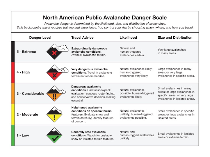
Today the avalanche danger is MODERATE across the forecast area.