AVALANCHE WARNING
Issued Sunday, March 16, 2025 at 19:30
The Gallatin National Forest Avalanche Center has issued an AVALANCHE WARNING for:
- The Centennial Range near Island Park.
- The Lionhead area near West Yellowstone.
Continued heavy snowfall (up to 4 inches of water) and hurricane-force winds have increased the avalanche danger to HIGH. Large, deadly avalanches will be happening and can run far distances. Avoid any slope steeper than 30 degrees, and avoid being in avalanche runout zones.
Depending on the weather, this warning will expire or be updated by 6:00 a.m. on Tuesday, March 18, 2025.
This is Alex Marienthal with the avalanche forecast for Sunday, March 16th, at 7:00 a.m. sponsored by Klim and Montana State Parks. This forecast does not apply to operating ski areas.
Snow totals over the last 24 hours are:
- 4-6” in Cooke City, West Yellowstone and Island Park.
- 2-3” in the Bridger Range, Big Sky and Taylor Fork.
- Zero in Hyalite.
Wind increased overnight out of the southwest and west at 15-25 mph with gusts of 35-50 mph. Strong west and southwest winds will continue today and tonight. Temperatures are single digits to low 20s F and will reach 20s to 30s F today.
Snowfall is expected today through tomorrow, picking up in intensity mid-day. The mountains near West Yellowstone, Island Park and Cooke City are favoreds with 7-12” possible by this evening and 12-24” possible by tomorrow morning. Near Bozeman and Big Sky should receive 5-8” by morning with more throughout the forecast area tomorrow.

Winds have increased to strong from the west and southwest after multiple days of calm conditions. These winds are drifting 10-20” of new snow (1-2" of snow water equivalent) from the last couple days into fresh cohesive slabs up to 2 feet deep. Wind slab avalanches are easy to trigger and dangerous avalanche conditions will develop. Heavy snowfall is possible today and strong wind will continue, so the size, likelihood and distribution of avalanches will increase through the day.
Loose snow avalanches and storm slab avalanches are also possible and can easily run long distances on the crust below the new snow (video). These are especially dangerous if they drag you into rocks, trees or over a cliff. On Friday in the Centennials near Island Park Mark saw a larger avalanche that broke on or under the crust below the new snow (video).
An additional problem south of Big Sky to West Yellowstone are deeper persistent slab avalanches breaking 2-5 feet deep on the weak snow that was buried in late January. On Friday in Taylor Fork a snowmobiler triggered a 2-3 foot deep hard slab on a short, steep slope with a relatively shallow snowpack (2 to 5’ deep)(video, photo and obs. from my visit to the avalanche in Taylor Fork yesterday). These types of slides have become increasingly less frequent, but we could see more with the added weight of new snow over the next few days.
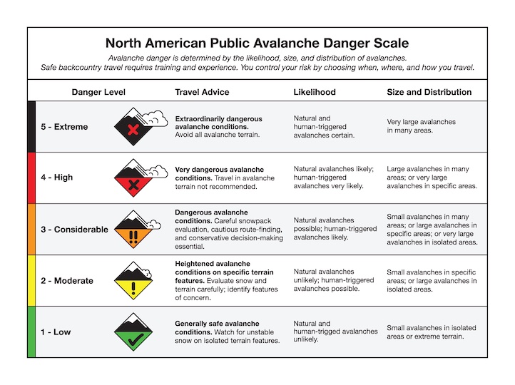
Today the avalanche danger is CONSIDERABLE. Choose terrain carefully. Avoid steep wind-loaded slopes. Consider avoiding all slopes steeper than 30 degrees as heavy snowfall and strong wind increase the chances of human-triggered and natural avalanches through the day.
Less snow is expected near Bozeman and Big Sky compared to the southern half of our forecast area, and less snow fell over the last couple days (6-16" = 0.7-0.9" snow water equivalent). Strong wind today will create fresh slabs that are easy to trigger, making human-triggered wind slab avalanches likely. Yesterday there were a couple fresh natural wind slab avalanches reported in the northern Bridgers (observation). Today, wind-loaded slopes could be widespread and the size of slabs will grow due to continuing steady moderate to strong winds. Be on the lookout for fresh drifts on all aspects and elevations, not just the typical areas like near ridgelines.
On non-wind-loaded slopes loose snow avalanches are possible and can run long distances on the crust below the recent snow. These can be easy to identify and manage, but can easily knock you over and be dangerous above cliffs, rocks or trees (Ian’s observation from Bridger Peak).
Be cautious and avoid wind-loaded slopes today. Watch for a textured or pillowy snow surface, or cracking out from your feet or skis as signs of wind-loading. Avalanche danger is CONSIDERABLE on wind-loaded slopes and MODERATE on other slopes near Bozeman and Big Sky.