This is Ian Hoyer with the avalanche forecast for Saturday, March 8th, at 7:00 a.m. sponsored by Montana State Parks and Gallatin County Sheriff Search and Rescue. This forecast does not apply to operating ski areas.
It’s going to be another beautiful, warm spring day.
This morning, temperatures are in the teens F. Winds are 10-20 mph out of the west. There are a mixture of high clouds and blue skies and no new snow.
Today, high temperatures will rise into the 30s and low 40s F. Winds will continue at 10-20 mph out of the west. Expect a mixture of sun and clouds. No new snow is expected until early next week, at the earliest.

Wind Slab avalanches breaking in drifts built from this week’s new snow are the primary avalanche concern today. These drifts are up to 2 ft deep and were easily triggered yesterday (video). Drifts may be a little more stubborn today, but I expect there are many slopes where they can still be triggered. Winds on Thursday were out of the east and then shifted westerly yesterday, so drifts may be found in unusual locations. The surface texture of the snow will give you a good idea of where the drifts are. Either avoid these drifts today, or carefully assess and make sure they’re well bonded before getting onto steep slopes.
Around West Yellowstone, Persistent Slab avalanches are an additional concern, breaking deeper on weak layers buried at the end of January. We haven’t seen a ton of activity on these layers lately, but we did get a report of a slide breaking deeper yesterday in the Lionhead area, so they’re clearly still possible (photo). These slides have mostly been breaking on mid-elevation slopes with trees around and have been surprising riders, leading to several close calls (Lionhead, Cabin Creek). Make sure you’re only exposing one person at a time to steep slopes and have a partner watching from a safe spot, in case you get unlucky and trigger a deeper slide.
Expect small Wet Loose avalanches as the new snow warms up in the strong March sun. These slides could break at your feet or sled or come down naturally from above, particularly around rock outcrops. These slides probably won’t be big enough to bury you, but could knock you off your feet, so be alert in terrain where that would be a problem.
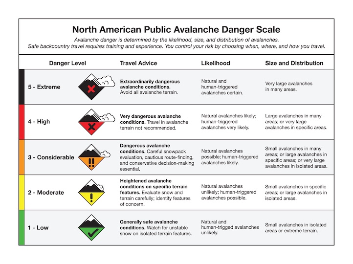
The avalanche danger is MODERATE today.

Winds Slab and Wet Loose avalanches are also the primary concerns near Cooke City, but they will be small and isolated today. The snowpack is generally stable. There are weak layers in the snowpack, but it’s been almost two weeks since the last slide on them (details).
Stay alert so you don’t get surprised. Watch for cracking as a sign that a wind drift is unstable and pay attention as the snow surface gets wet, especially in very steep terrain where a tiny slide would have big consequences.
Large avalanches are unlikely and the avalanche danger is LOW.
Upcoming Avalanche Education and Events
Our education calendar is full of awareness lectures and field courses. Check it out: Events and Education Calendar
Avalanche awareness focused on springtime avalanche conditions: Thursday, March 13 at the Bozeman REI from 6-7:30 p.m. The event is free but has limited space and requires registration HERE.
Every weekend in Cooke City: Friday at The Antlers at 7 p.m., Free Avalanche Awareness and Current Conditions talk, and Saturday from 10 a.m.-2 p.m. at Round Lake Warming Hut, Free Rescue Practice.